Auburn Municipal Airport Private Jet Charter
Charter to and from Auburn Municipal Airport
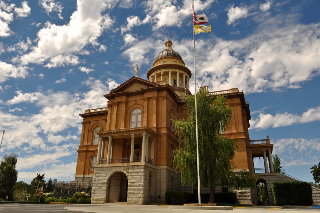
About Auburn Municipal Airport (AUN, KAUN)
Situated 3 three miles north of the city of Auburn, in Placer County, CA, Auburn Municipal Airport is a public use city owned airport, which is used mostly for general aviation. It is operated by the city of Auburn and features a number of the top-notch facilities. The services of Auburn Municipal Airport include air aviation fuel, ambulance, private charters and rentals, flight instruction, repairs and maintenance, scenic tours, and a fabulous restaurant. Covering an area of about 285 acres, Auburn Municipal Airport has one asphalt surfaced runway in good condition.
There are also 173 aircraft based on the field of Auburn Municipal Airport, such as multi-engine airplanes, helicopters, ultralights, and single-engine airplanes. The major aircraft operations Auburn Municipal Airport provides are transient general aviation, air taxi, and local general aviation.
Airports near Auburn Municipal Airport
- QQQ, Nevada County, Grass Valley, CA
- MCC, McClellan Airfield, Sacramento, CA
- PVF, Placerville Airport, Placerville, CA
- BLU, Blue Canyon-Nyack Airport, Emigrant Gap, CA
- MHR, Sacramento Mather Airport, Sacramento, CA
- MYV, Yuba County Airport, Marysville, CA
- SAC, Sacramento Executive Airport, Sacramento, CA
- BAB, Beale Air Force Base, Marysville, CA
Auburn Municipal Airport (AUN, KAUN) Information
| IATA Code | AUN |
|---|---|
| Local Code | KAUN |
| Latitude | 38.954722 |
| Longitude | -121.081667 |
| Type | Public |
| Longest Runway | 3,700 feet |
| Elevation | 1,536 ft / 468 m |
| Airport Website | Auburn Municipal Airport |
| Airport Address | 13666 New Airport Rd, Auburn, CA 95602, United States |
Weather for Auburn Municipal Airport

