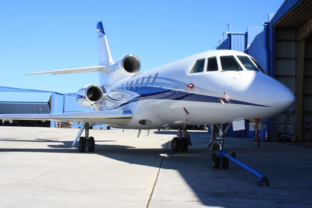
Lt. Warren Eaton Airport Private Jet Charter
Charter to and from Lt. Warren Eaton Airport
About Lt. Warren Eaton Airport (OIC, KOIC)
Situated just 2 nautical miles north of the downtown of Norwich, NY, Lt. Warren Eaton Airport is public-use airport owned by Chenango County. The airport is categorized by the National Plan of Integrated Airport Systems as a general aviation facility and does not provide any scheduled commercial operations. Covering an area of 147 acres, Lt. Warren Eaton Airport has the world-class facilities, including one asphalt surfaced runway in good condition.
There are 19 aircraft based on the field of Lt. Warren Eaton Airport, such as ultralights, multi-engine airplanes, and single-engine airplanes. The major aircraft operations Lt. Warren Eaton Airport provides are local general aviation, military, air taxi, and transient general aviation.
Airports near Lt. Warren Eaton Airport
- BGM, Greater Binghamton, Binghamton, NY, United States.
- COP, Cooperstown – Westville Airport, Cooperstown, NY, United States.
- CTX, Cortland, Cortland, United States.
- ITH, Tompkins County, Ithaca, United States.
- OIC, Eaton, Norwich, United States.
- ONH, Municipal, Oneonta, United States.
- RME, Griffiss AFB, Rome, NY, United States.
- SXY, Sidney, Sidney, United States.
- SYR, Syracuse Hancock International Airport, Syracuse, United States.
- UCA, Oneida County, Utica, United States.
Lt. Warren Eaton Airport (OIC, KOIC) Information
| IATA Code | OIC |
|---|---|
| Local Code | KOIC |
| Latitude | 42.566389 |
| Longitude | -75.524167 |
| Type | Public |
| Longest Runway | 4,724 feet |
| Elevation | 1,025 ft / 312 m |
| Airport Website | Lt. Warren E. Eaton Airport |
| Airport Address | 6390 NY-12, Norwich, NY 13815, United States |
Weather for Lt. Warren Eaton Airport
17°C
62.6°F
Today
Overcast clouds
Humidity: 63%;
Wind: 1m/s N;
H 18 • L 17;

Mon
19°C
66.2°F
Tue
21°C
69.8°F
Wed
22°C
71.6°F

Thu
23°C
73.4°F