Manitowoc County Airport Private Jet Charter
Charter a Private Jet to / from Manitowoc County Airport
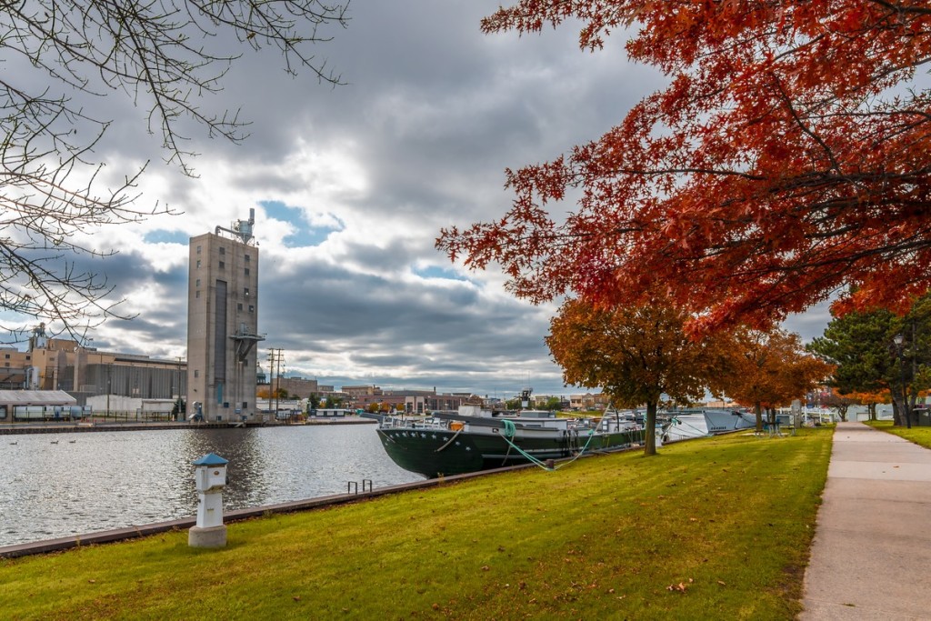
About Manitowoc County Airport
Situated 2 nautical miles northwest of the downtown of Manitowoc, Wisconsin, Manitowoc County Airport is a public-use airport in Manitowoc County owned by the county. The airport is called by the National Plan of Integrated Airport Systems as a local general aviation facility. Covering 414 acres, Manitowoc County Airport features two asphalt-surfaced runways in good condition. There are 70 aircraft based on the field of Manitowoc County Airport, such as multiple-engine airplanes and single-engine airplanes. The major aircraft operations Manitowoc County Airport provides are local general aviation, military, air taxi, and transient general aviation.
Airports near Manitowoc County Airport
- ATW, Outagamie County, Appleton, United States.
- CLI, Clintonville, Clintonville, United States.
- ETB, West Bend, West Bend, United States.
- FLD, Fond Du Lac, Fond Du Lac, United States.
- GRB, Austin-straubel Field, Green Bay, United States.
- LDM, Mason County, Ludington, United States.
- MNM, Menominee, Menominee, United States.
- MTW, Municipal, Manitowoc, United States.
- OSH, Wittman Field, Oshkosh, United States.
- SBM, Memorial, Sheboygan, United States.
- SUE, Door County, Sturgeon Bay, United States.
Manitowoc County Airport (MTW, KMTW) Information
| IATA Code | MTW |
|---|---|
| Local Code | KMTW |
| Latitude | 44.128889 |
| Longitude | -87.680556 |
| Type | Public |
| Longest Runway | 5,001 feet |
| Elevation | 651 ft / 198 m |
| Airport Website | Manitowoc County Airport |
| Airport Address | 1815 Freedom Way, Manitowoc, WI 54220 |
Weather for Manitowoc County Airport
20°C
68°F
Today
Moderate rain
Humidity: 94%;
Wind: 0m/s ENE;
H 22 • L 21;

Sun
21°C
69.8°F
Mon
25°C
77°F

Tue
27°C
80.6°F
Wed
25°C
77°F